
Open-source Python package
spatial-vtk
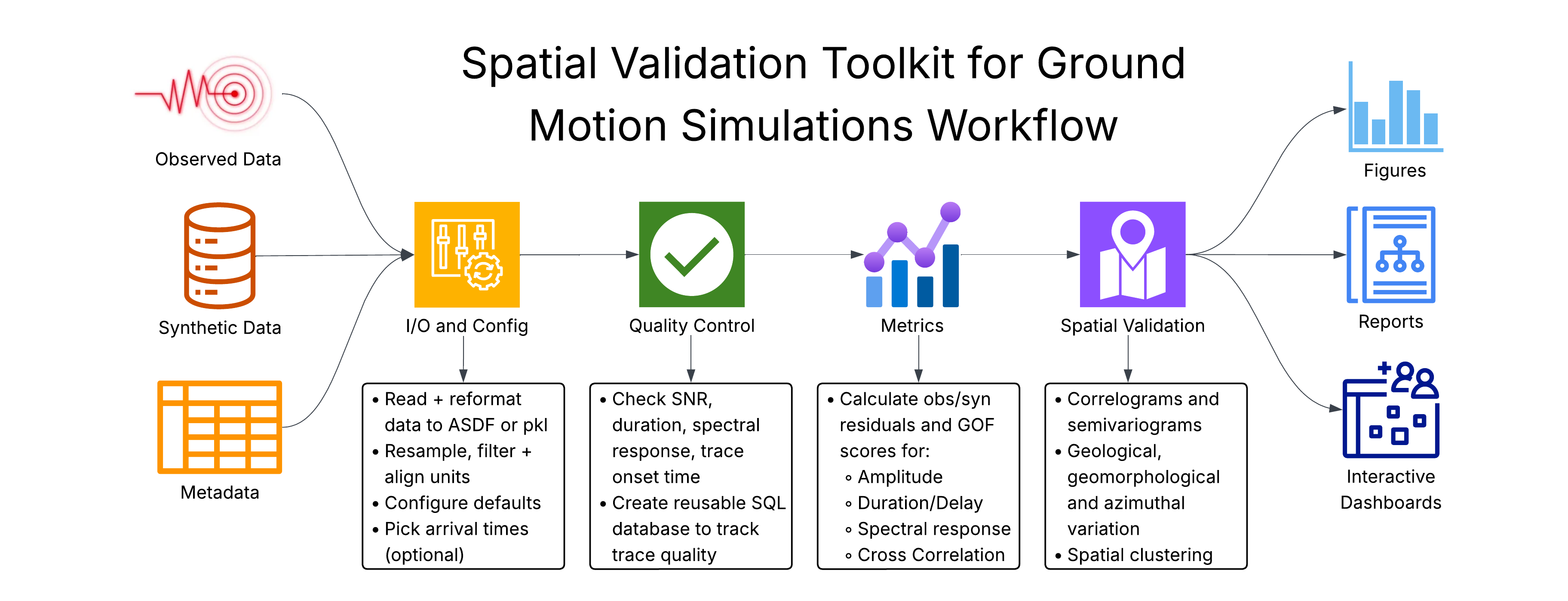
I developed spatial-vtk to evaluate how well ground-motion simulations reproduce observations. It brings data preparation, model comparisons, and spatial analysis into a reusable Python toolkit with a command-line interface.
Prepare data
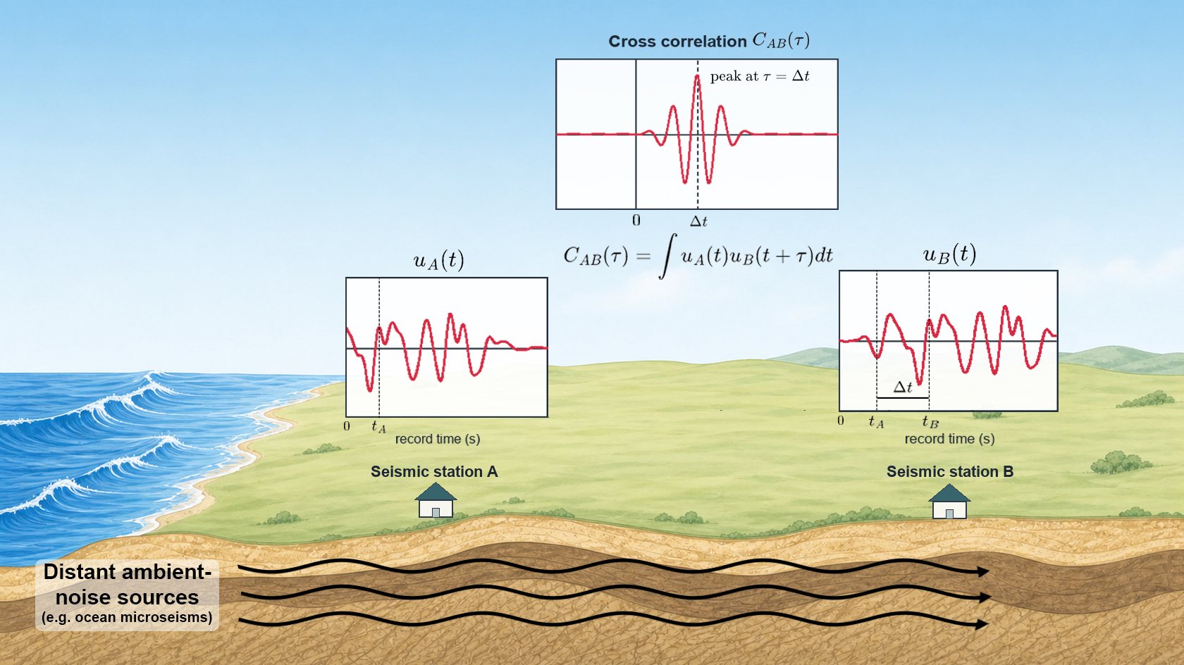
Preprocess waveforms, organize metadata, and check data quality.
Compare models
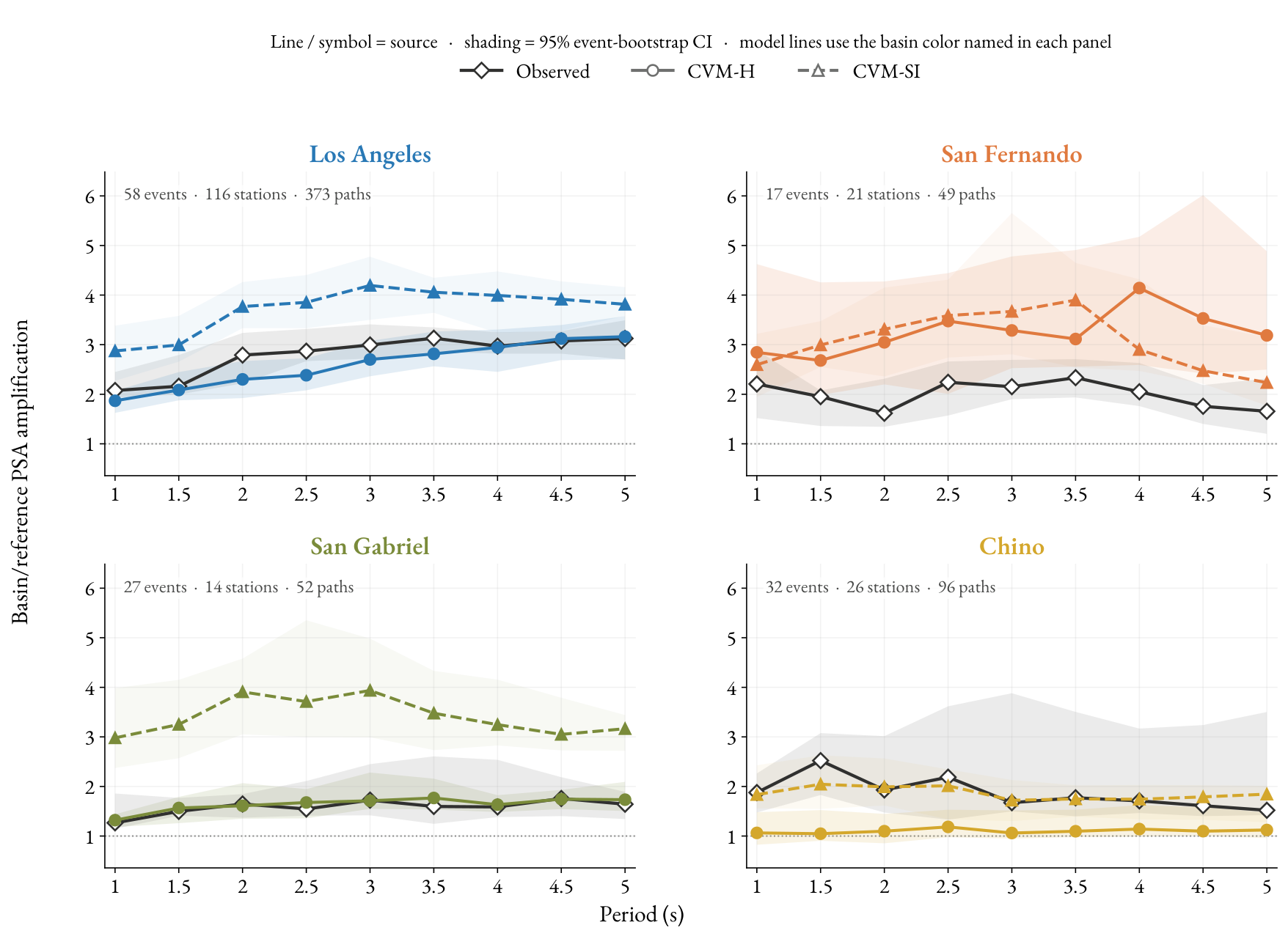
Measure ground-motion residuals and waveform agreement.
Explore spatial patterns
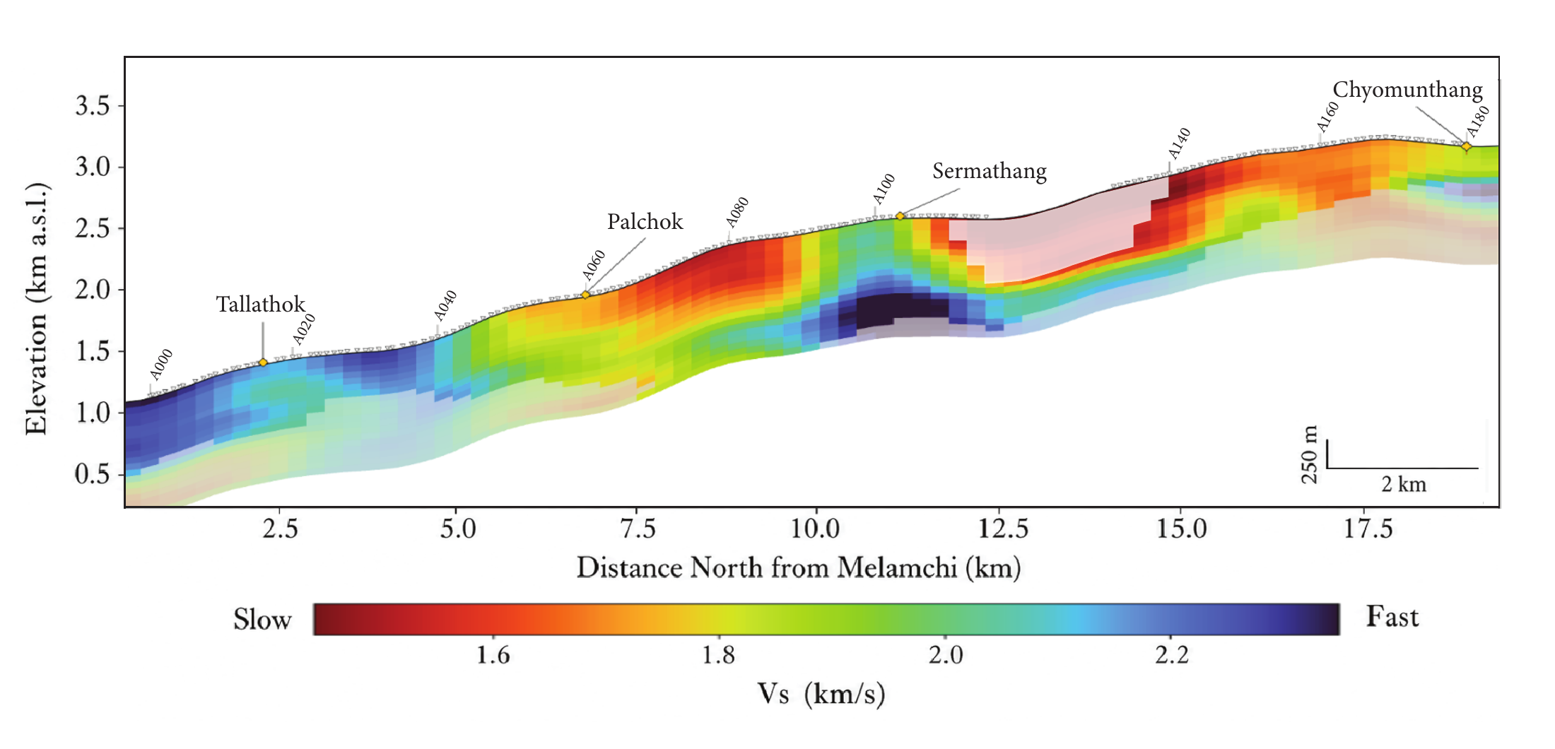
Connect model performance with geology through maps, statistics, and clustering.